
Contact Us
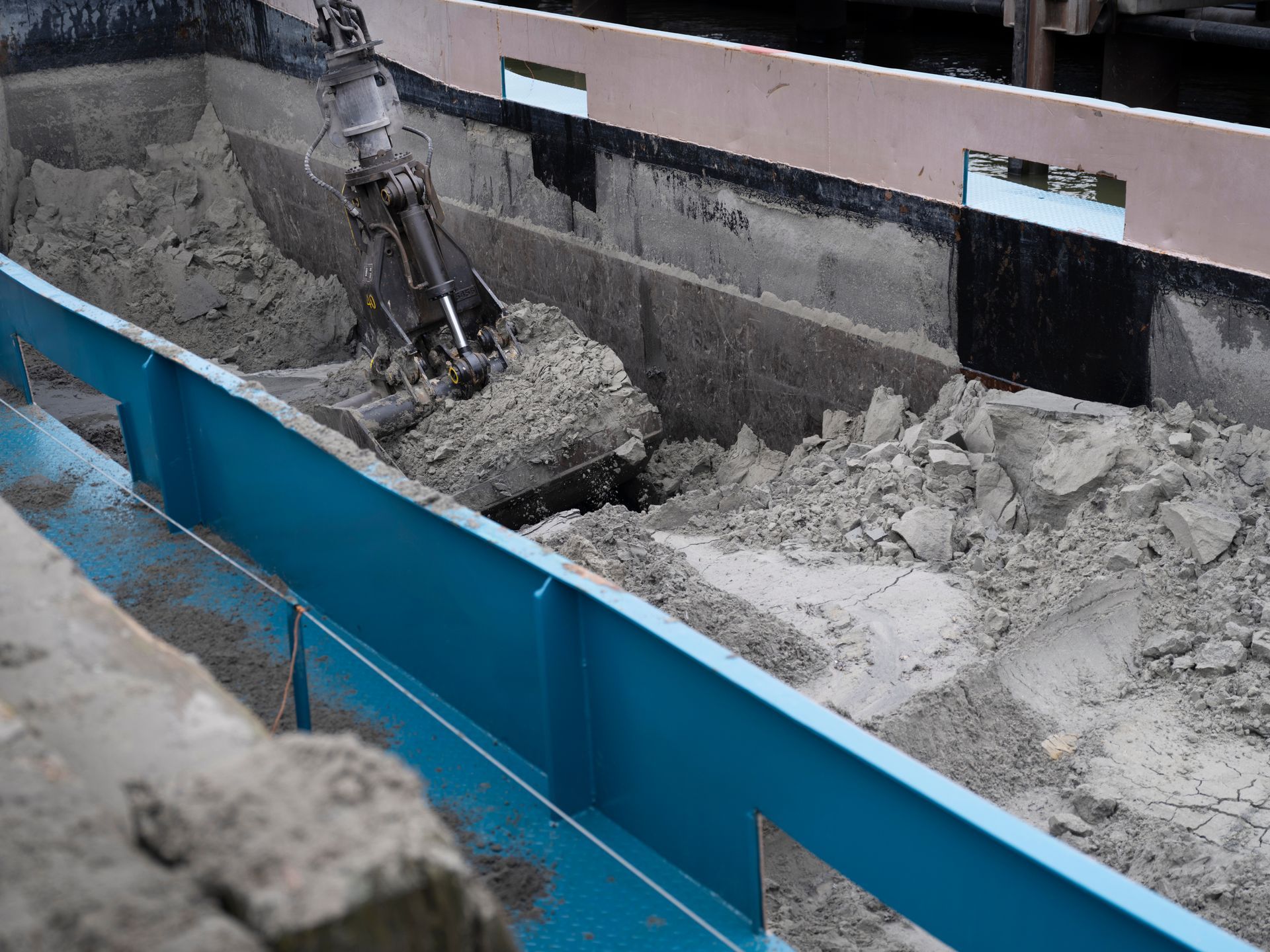
Thorough subsurface mapping prevents costly surprises and project delays by revealing exactly what lies beneath the surface before any cutting or drilling begins. Kingdom Concrete Drilling & Sawing Inc. brings over 23 years of specialized experience to Cambridge construction projects, using advanced equipment to deliver precise utility location and structural analysis. Our comprehensive ground penetrating radar in Cambridge services help contractors, engineers, and property owners make informed decisions with detailed subsurface data and utility detection they can trust.
Get your comprehensive GPR assessment
What depth can ground-penetrating radar detect in Cambridge soil?
Ground-penetrating radar penetration depth depends on soil composition, moisture content, and the specific materials we're locating beneath Cambridge properties. Our advanced GPR technology typically detects utilities, rebar, and structural elements up to 18 inches deep in standard concrete applications, with greater depths possible in favorable soil conditions. Cambridge's varied soil types across the former Galt, Preston, and Hespeler areas require specialized utility mapping expertise that accounts for different underground infrastructure layouts and geological characteristics.
How accurate is GPR for utility mapping in urban environments?
Modern ground penetrating radar in Cambridge
delivers pinpoint accuracy for utility location, with our equipment capable of detecting objects as small as half-inch conduits and mapping their precise horizontal and vertical positions. Urban environments present complex utility networks, but our experienced technicians interpret GPR data to distinguish between active utilities, abandoned lines, and structural elements. We provide advanced ground-penetrating radar technology
that meets the demanding requirements of commercial construction and infrastructure projects.
Do you provide detailed mapping reports for engineering studies?
Every ground penetrating radar in Cambridge project includes comprehensive documentation with precise measurements, depth readings, and utility identification marked directly on your site plans. Our detailed reports integrate seamlessly with engineering studies and construction planning, providing the subsurface data needed for permit applications and design decisions. Cambridge's proximity to research institutions demands professional subsurface investigation services that meet academic and professional standards for both commercial development and specialized research projects.
Schedule your subsurface mapping service
Ground penetrating radar Cambridge services for complete project preparation
Construction projects demand accurate subsurface data to proceed safely and on schedule, whether you're working on heritage buildings in Galt or modern developments near the universities. Our ground penetrating radar in Cambridge delivers the detailed utility mapping and structural analysis that keeps your project moving forward without unexpected delays or costly rework. Contact our experienced team through our professional consultation services to discuss your specific subsurface investigation requirements and receive your detailed project assessment.
Professional subsurface investigation requires specialized equipment and experienced interpretation to deliver actionable results for your Cambridge project. Our comprehensive GPR services provide the detailed mapping data needed for safe, efficient construction planning.
- Utility line detection: We locate active and abandoned electrical, gas, water, and telecommunications infrastructure to prevent dangerous strikes and costly service interruptions during excavation work.
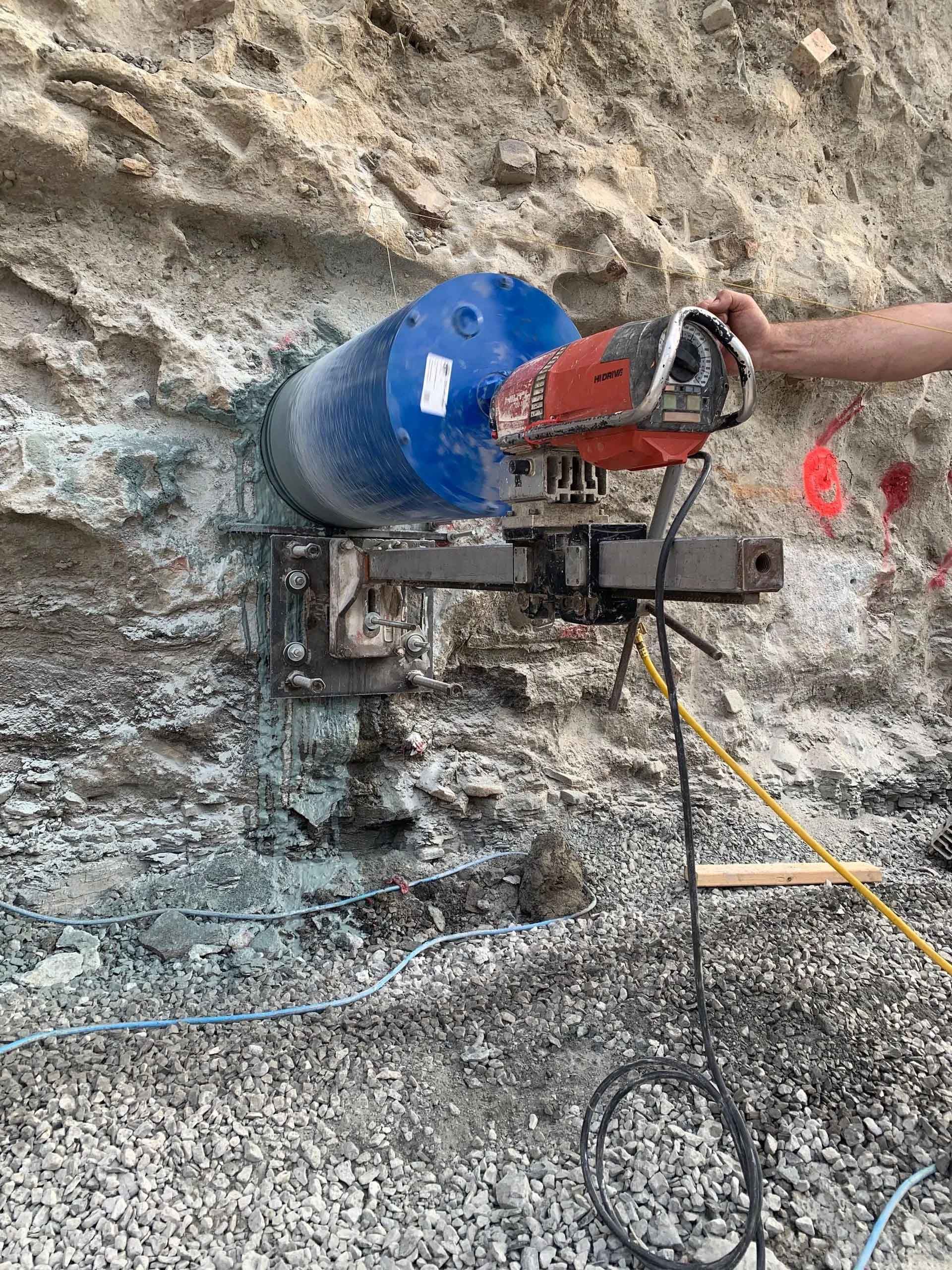
- Rebar and post-tension cable mapping: Our technicians identify reinforcement patterns, cable locations, and structural elements within concrete slabs and walls before cutting or coring operations begin.
- Void and anomaly detection: We scan for underground cavities, soil changes, and structural defects that could compromise foundation stability or create safety hazards during construction.
- Depth measurement and 3D modeling: Our advanced equipment provides precise depth readings and creates three-dimensional subsurface maps that integrate directly with architectural and engineering plans.
- Real-time field marking: We mark utility locations and structural elements directly on-site using spray paint and flags, providing immediate visual reference for your construction crew.
Ready to make informed decisions with comprehensive subsurface data?